Drone Survey & Data Processing
We provide UAV-based surveying and geospatial data processing services to support infrastructure planning, earthwork management, utility design, and asset mapping. By combining high-resolution aerial data acquisition with advanced processing workflows, we deliver accurate, reliable, and decision-ready spatial datasets.
Our drone services enhance survey efficiency, reduce field time, and provide comprehensive site intelligence for engineering applications.

Image & LiDAR Data Acquisition Using Drones
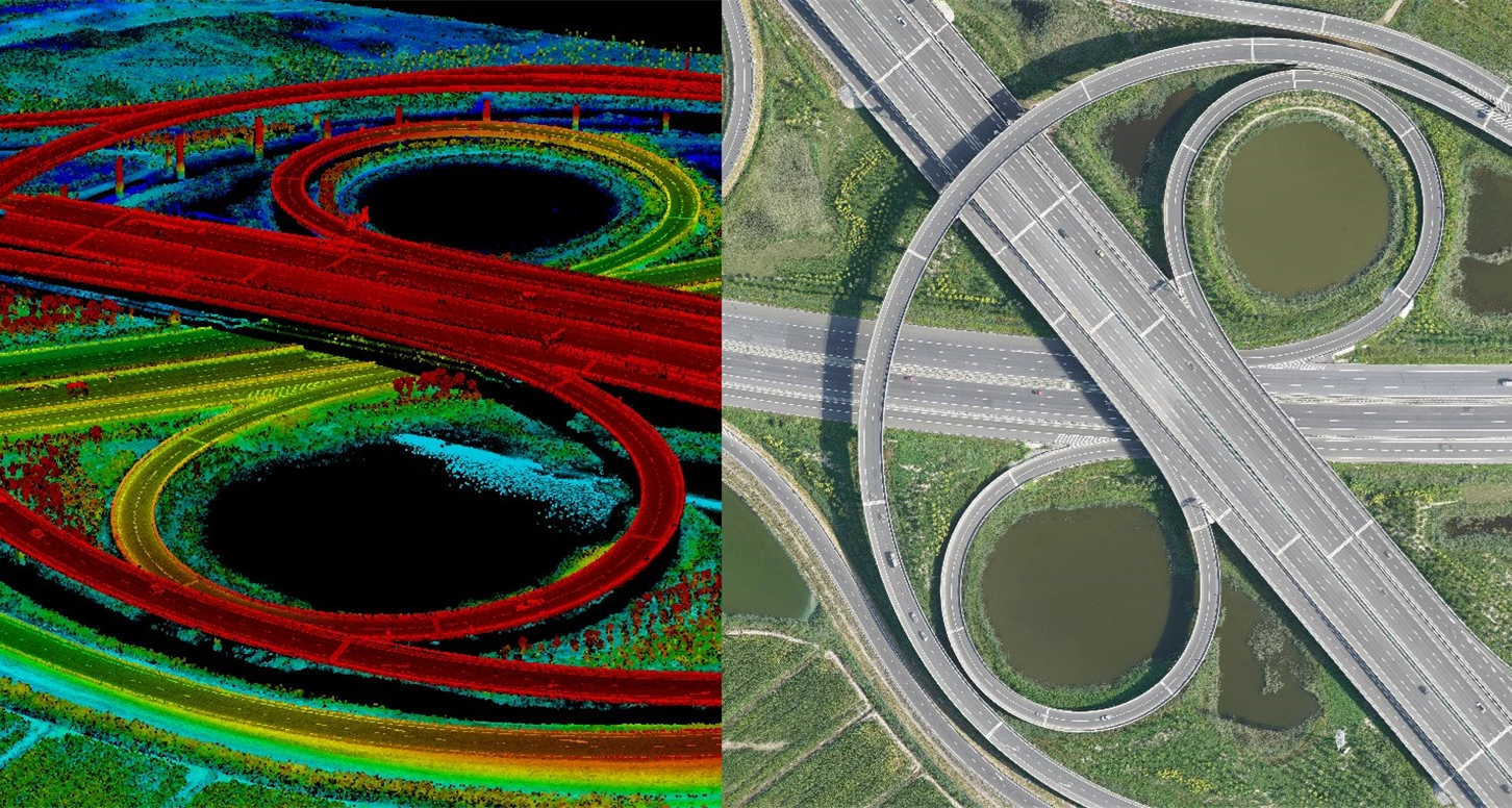
We deploy advanced drone platforms equipped with high-resolution cameras and LiDAR sensors to capture precise site data.
- Image data acquisition
- LiDAR data acquisition
- Construction progress monitoring
Processing Drone Data and Prepare Topographic Surveys
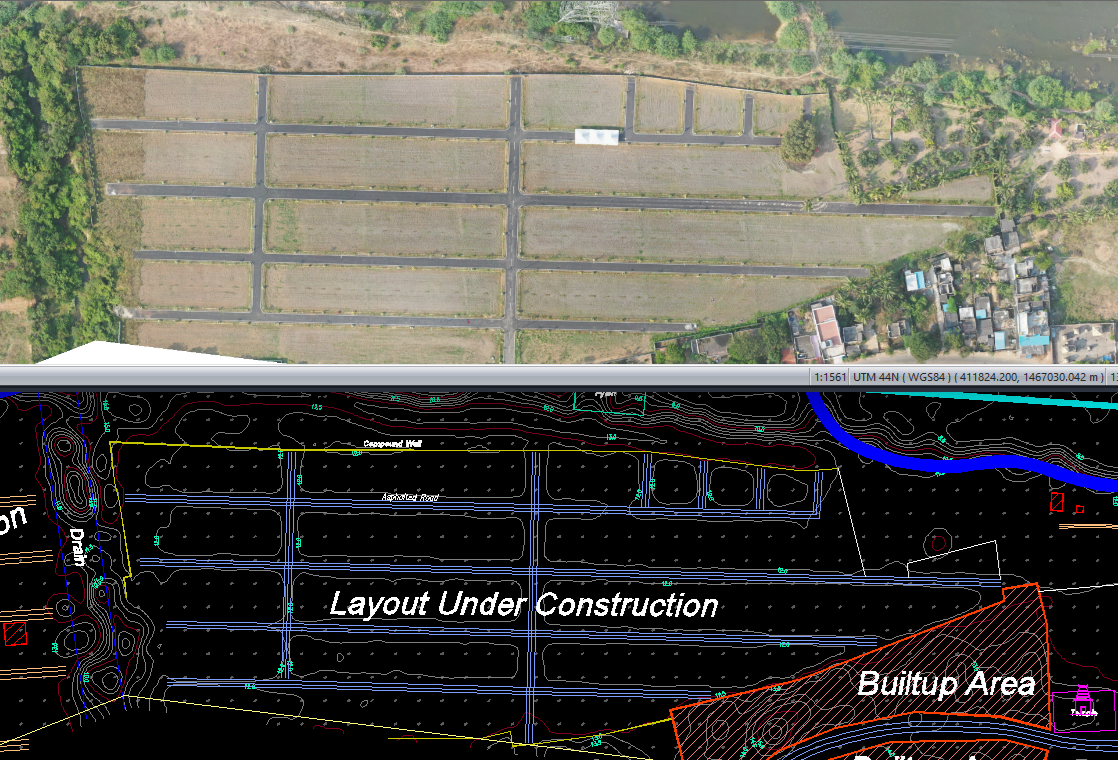
We process UAV data to generate engineering-grade topographic outputs suitable for design and construction.
- Digital Terrain Models (DTM)
- Digital Surface Models (DSM)
- Contour generation
- Spot levels and elevation mapping
Volumetric Analysis and Calculations Using Drone Data
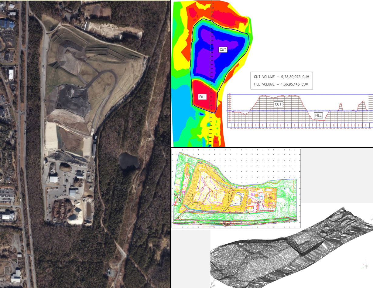
We perform precise volumetric computations using drone-derived surface models to support construction and resource management.
- Cut and fill volume calculations
- Stockpile measurement
- Excavation and embankment monitoring
- Progress-based earthwork verification
- Quantity validation for contractor claims
Prepare Cadastral and GIS Maps Using Drone Data
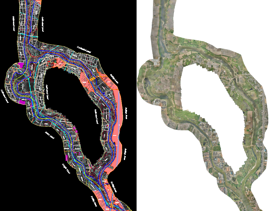
We convert processed drone data into structured GIS datasets and mapping products.
- Cadastral boundary mapping
- Utility mapping
- Land parcel digitization
- Infrastructure corridor mapping
- Integration with existing GIS databases
Work With A Team That Delivers.
Tell us about your project and our multidisciplinary team will get back to you.
Contact Us →