CAD and GIS Services

SERVICES

CAD and GIS Services

We provide high-precision CAD drafting and advanced GIS solutions to support infrastructure planning, design coordination, construction documentation, and asset data management. Our services bridge engineering design and geospatial intelligence, ensuring accuracy, consistency, and structured data delivery.

By integrating drafting standards with spatial database systems, we transform engineering information into reliable, decision-ready digital assets.


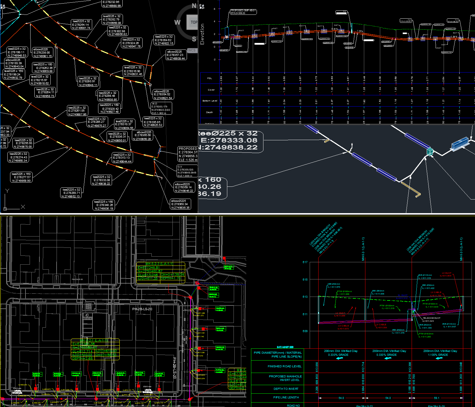
Preparation of Shop and As-Built Drawings

We deliver detailed, standards-compliant engineering drawings to support construction, approvals, and record documentation.

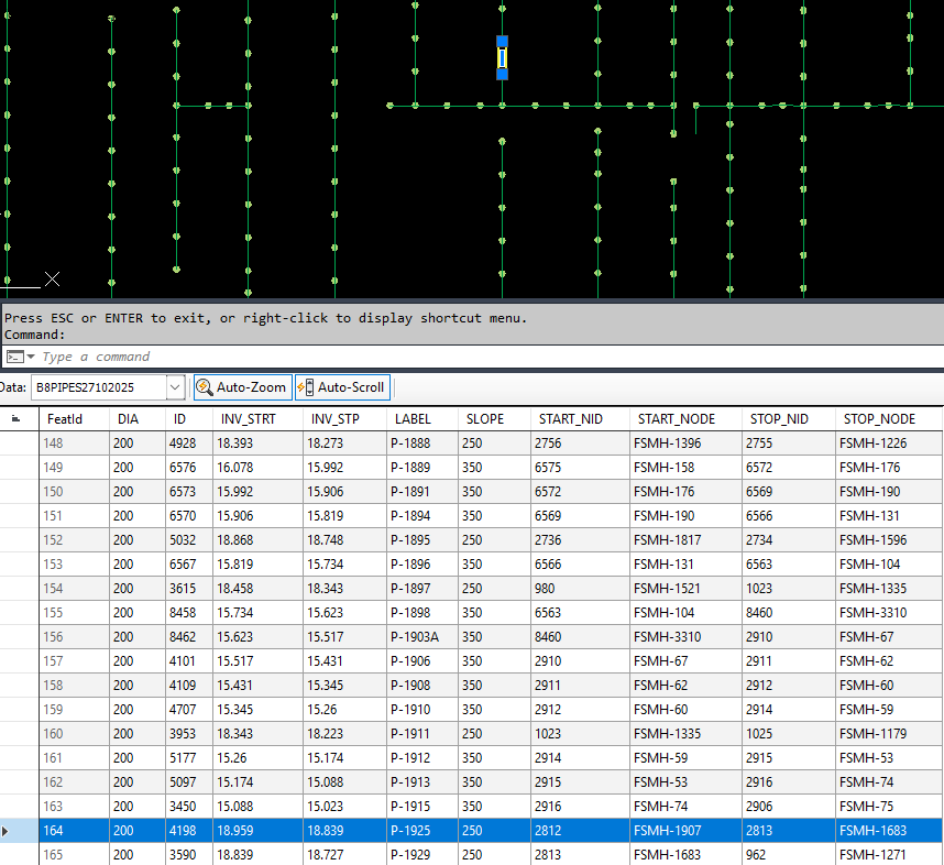
As-Built CAD Drawings to GIS Databases

We convert engineering CAD data into structured GIS databases for improved asset management and spatial analysis.

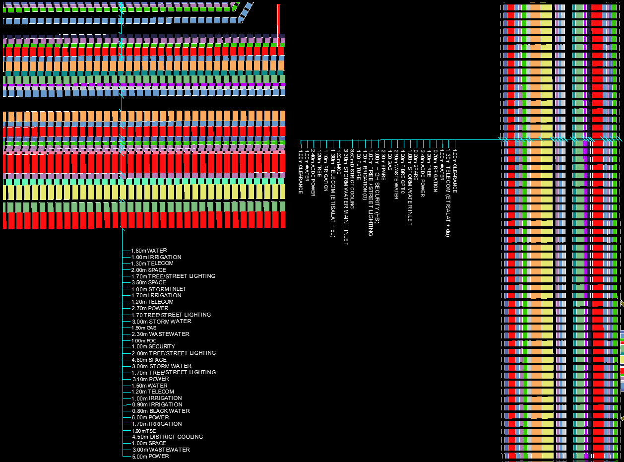
Prepare Utility Corridor & Route Drawings

We prepare detailed utility corridor and route drawings to support planning, coordination, and regulatory approvals.

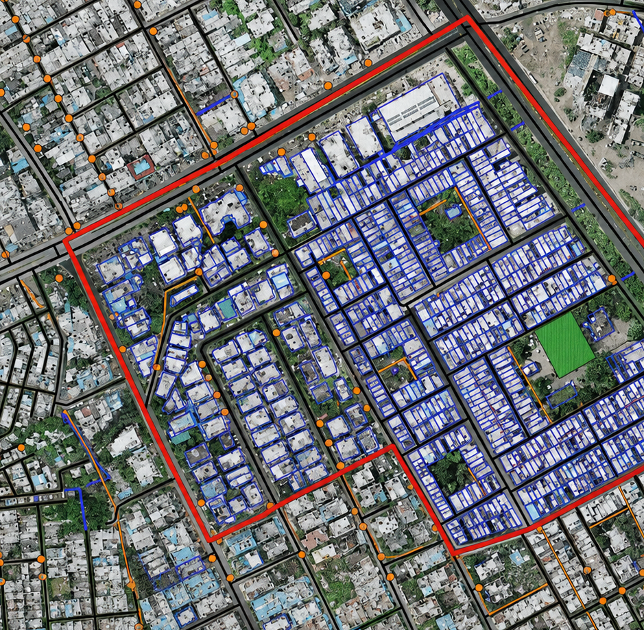
Raster to GIS Conversion

We convert raster maps and scanned drawings into accurate, structured GIS datasets.

Work With A Team That Delivers.

Tell us about your project and our multidisciplinary team will get back to you.

Contact Us →
Scroll to Top